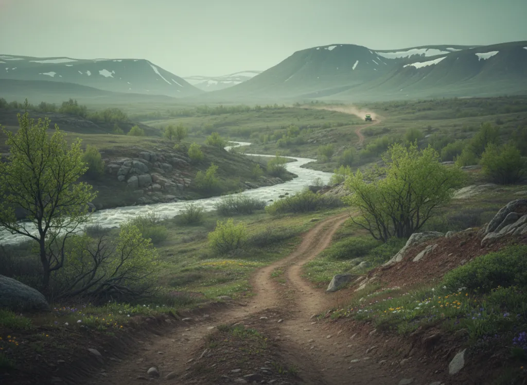
The Payette National Forest covers 2.3 million acres of the Idaho Batholith mountain country in Valley, Adams, and Washington counties in west-central Idaho: the granite mountain core of Idaho centered on McCall, Cascade, and New Meadows, one of the deepest roadless wilderness interiors in the continental United States and one of the premier OHV riding destinations in the Pacific Northwest. The forest OHV system operates from McCall as the primary hub community, a mountain resort town on the shore of Payette Lake at 5,000 feet elevation that has served as Idaho's mountain recreation capital since the early 20th century. The designated OHV trails and forest road network fan out from the McCall area into the surrounding Idaho Batholith granite high country: the Lick Creek Summit and Brundage Mountain areas to the north, the Warren and Secesh River country to the east, and the South Fork of the Salmon River drainage to the south and east. The terrain is Idaho's signature mountain character: open granite ridge systems above treeline at 8,000 to 9,000 feet, dense lodgepole pine and subalpine fir forests on the middle elevations, and the lush riparian corridors of the Salmon River tributaries in the canyon bottoms. The Payette also provides OHV access to the outskirts of the Frank Church-River of No Return Wilderness, the largest designated Wilderness in the lower 48 states, and riders can legally access trailheads and routes that dead-end at the wilderness boundary for wilderness-edge views. ATVs, UTVs, and dirt bikes on designated routes. Idaho OHV registration required. McCall Ranger District office (208-634-0700) manages current OHV route status.
Hours
Open approximately June through October on designated routes at higher elevations; lower-elevation routes accessible longer. No day-use fee. Idaho OHV registration required.
Phone
208-634-0700Trip openings, seasonal updates, and the occasional deal, straight to your inbox.
FAQ
Everything you need to know before you get started.
Have a question, or ready to book? Reach out and we’ll get right back to you.